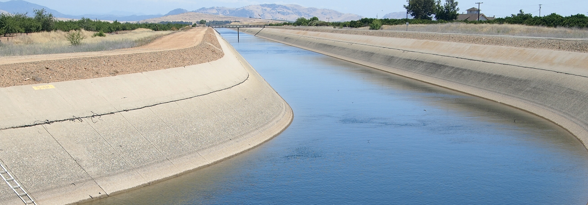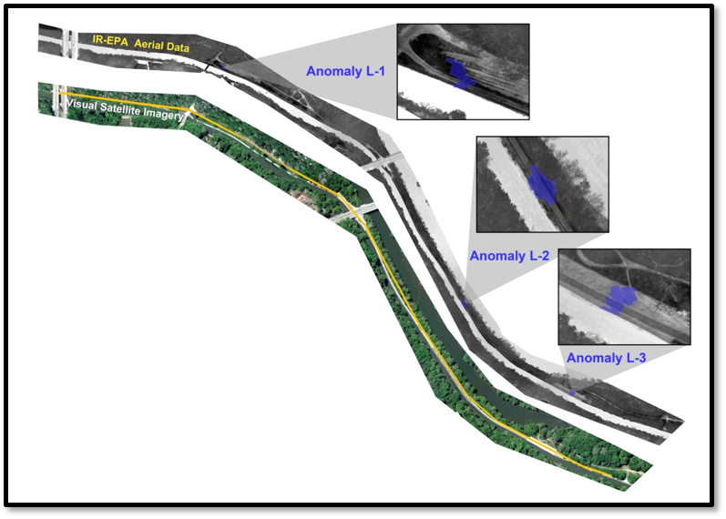
In America alone, there are estimated to be more than 100,000 miles of levees. This infrastructure is critical to protecting neighborhoods as well as farmlands. The most commonly used inspection method is a simple visual inspection where the observer records what they can see in a standard checklist. By combining advanced technologies, EnTech has created a complete solution that can monitor the surface information but it can also “see” beyond the surface where levees may have buried debris, voids, or seepage. This approach combines multiple technologies that will provide a repeatable inspection that can be used for before and after event comparisons. Being able to quickly identify any changes in the levee after a flooding event can be crucial to getting funding in order to make repairs.
